Landsat 8 and 9
U.S. Geological Survey
- Used for
- Natural-colour photographs and thermal evidence.
- Credit line
- Landsat data courtesy of the U.S. Geological Survey.
- Official page
- Landsat Collection 2 Level-2 Science Products
 Partner with usPartner
Sources
Four kinds of information, kept apart: the data behind the maps, the credit for each image, the papers to cite, and the licence notices that travel with the work.
Every public dataset behind the maps, with the credit line each one asks for.
U.S. Geological Survey
NASA JPL, distributed by the NASA Land Processes DAAC
European Union, Copernicus programme (ESA)
NASA Goddard Space Flight Center
Natural Earth contributors
Fabio Crameri
Each image, what it shows and which source it comes from.
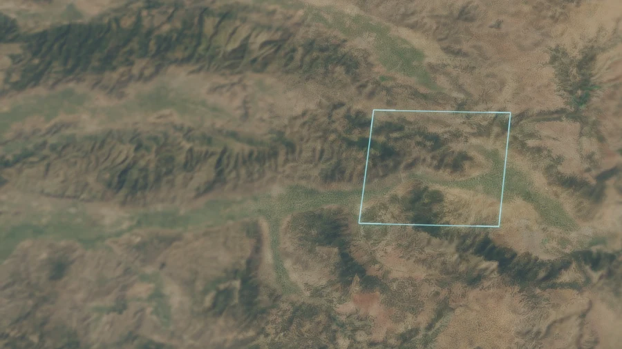
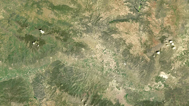
Source Landsat
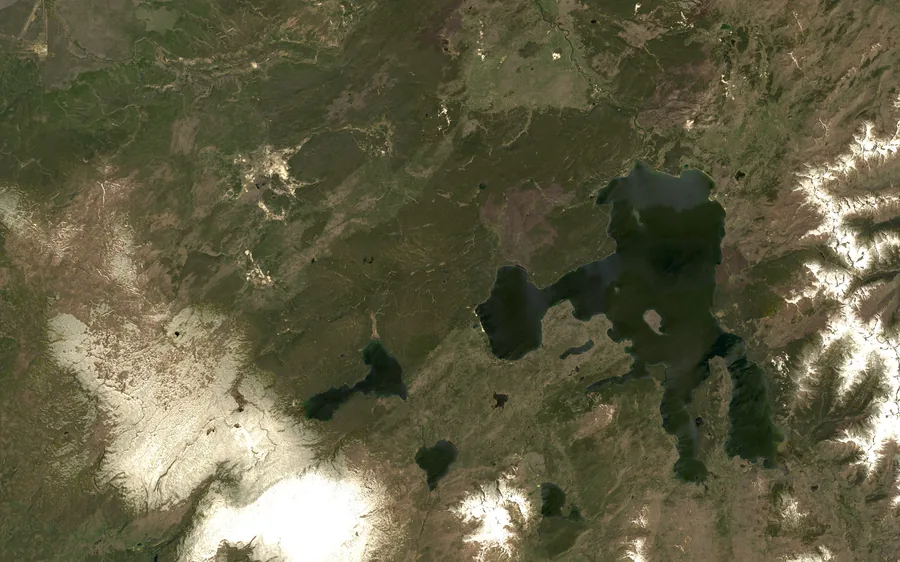
Source Landsat
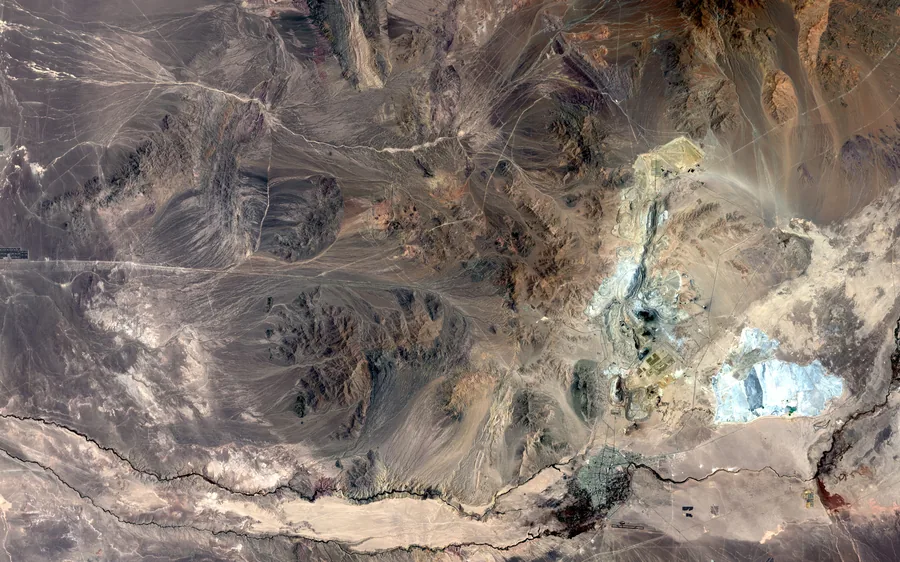
Source Landsat
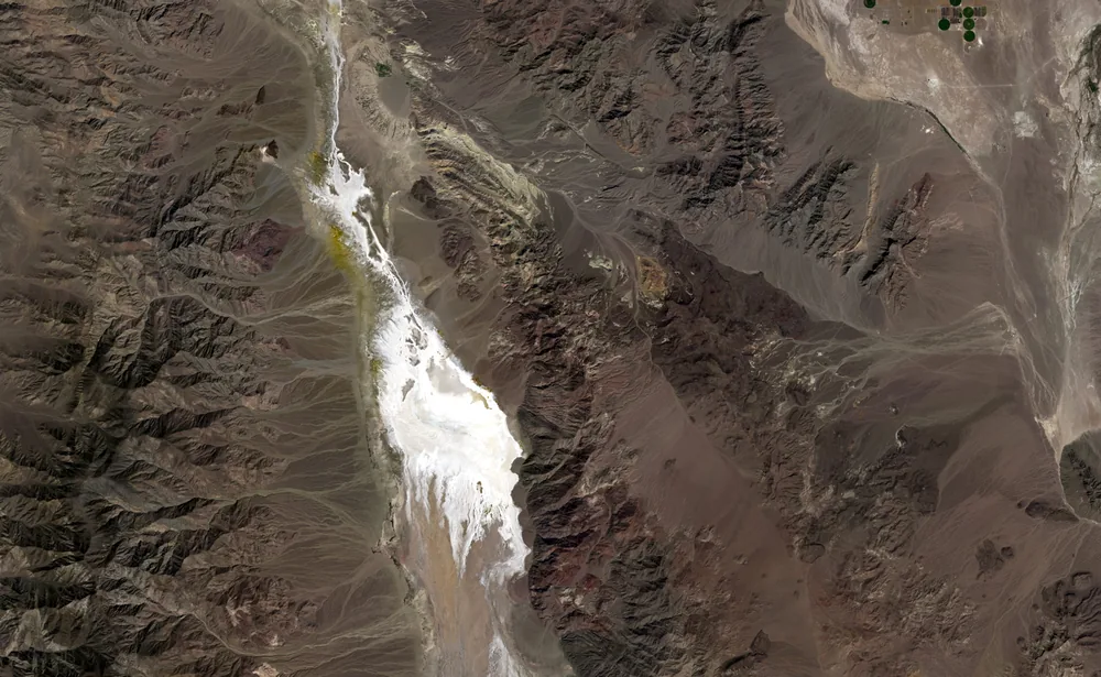
Source Landsat
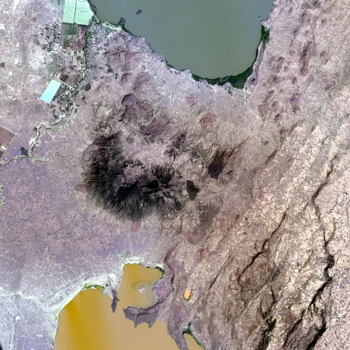
Source Landsat
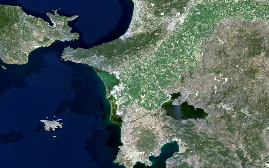
Source Landsat
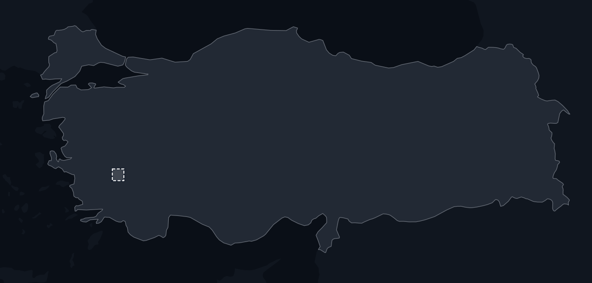
Source Natural Earth
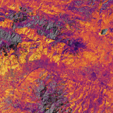
Source NASADEM Landsat Copernicus Sentinel-2 Scientific colour maps
Cite these when you use the colour scales or the elevation data.
Crameri, F., Shephard, G. E. and Heron, P. J. (2020). The misuse of colour in science communication. Nature Communications, 11, 5444.
doi:10.1038/s41467-020-19160-7Crameri, F. (2023). Scientific colour maps, version 8.0. Zenodo.
doi:10.5281/zenodo.8035877NASA JPL (2020). NASADEM Merged DEM Global 1 arc second V001. NASA EOSDIS Land Processes DAAC.
doi:10.5067/MEaSUREs/NASADEM/NASADEM_HGT.001Terms for each source, and the full licence texts.
Public domain. The U.S. Geological Survey asks for acknowledgement.
USGS Landsat data policyOrbGSS publishes renderings, never the data itself. Credit as above.
Free, full and open access. The credit line above is required.
Legal notice on Copernicus Sentinel dataPublic domain, as a U.S. government work.
NASA media usage guidelinesPublic domain.
Natural Earth terms of useMIT licence. The notice on this page must accompany the colour scales.
SIL Open Font License 1.1. Adapted from IBM Plex.
IBM PlexThe licence text is kept in its original English; it is the binding text.
MIT License
Copyright (c) Fabio Crameri
Permission is hereby granted, free of charge, to any person obtaining a copy of this software and associated documentation files (the "Software"), to deal in the Software without restriction, including without limitation the rights to use, copy, modify, merge, publish, distribute, sublicense, and/or sell copies of the Software, and to permit persons to whom the Software is furnished to do so, subject to the following conditions:
The above copyright notice and this permission notice shall be included in all copies or substantial portions of the Software.
THE SOFTWARE IS PROVIDED "AS IS", WITHOUT WARRANTY OF ANY KIND, EXPRESS OR IMPLIED, INCLUDING BUT NOT LIMITED TO THE WARRANTIES OF MERCHANTABILITY, FITNESS FOR A PARTICULAR PURPOSE AND NONINFRINGEMENT. IN NO EVENT SHALL THE AUTHORS OR COPYRIGHT HOLDERS BE LIABLE FOR ANY CLAIM, DAMAGES OR OTHER LIABILITY, WHETHER IN AN ACTION OF CONTRACT, TORT OR OTHERWISE, ARISING FROM, OUT OF OR IN CONNECTION WITH THE SOFTWARE OR THE USE OR OTHER DEALINGS IN THE SOFTWARE.
Adapted from IBM Plex, renamed because IBM reserves "Plex". Notices stay in English.
IBM Plex Sans: Copyright 2018 IBM Corp. All rights reserved.
IBM Plex Mono: Copyright 2017 IBM Corp. All rights reserved.
Copyright © 2017 IBM Corp. with Reserved Font Name "Plex"
This Font Software is licensed under the SIL Open Font License, Version 1.1.
IBM Plex(R) is a trademark of IBM Corp, registered in many jurisdictions worldwide.