Geothermal · Active · First application
Kızıldere: the first published pilot.
Everything published for the pilot, in one place: where it is, which layers it holds, what each layer is not, and what is still missing.
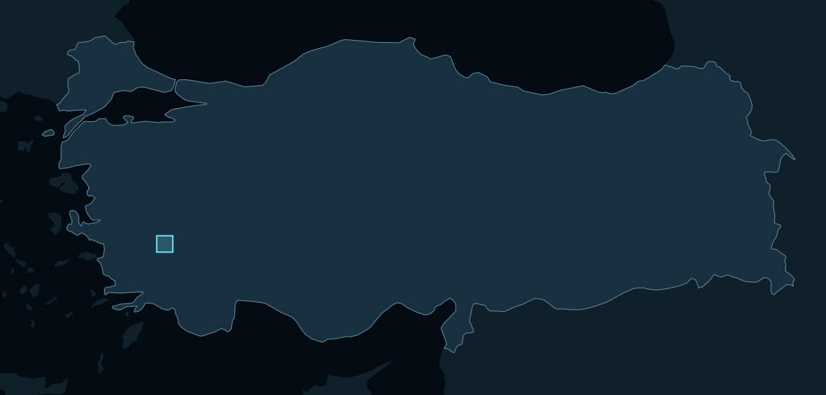
The pilot at a glance
| Area | 36 × 36 km |
|---|---|
| Place | Büyük Menderes graben, Denizli, Türkiye |
| Centre | 37.9794° N, 28.7907° E |
| Grid | 30 m, EPSG:32635, 1,200 × 1,200 cells |
| Layers | 2 context, 3 evidence, 1 priority surface |
| Score | Remote-Sensing Relative Priority — Experimental Baseline, 0–100 within the area |
| Not available | Structure and geology |
Every layer, and what it is not
| Layer | From | Role | What it is not |
|---|---|---|---|
| Natural colour | Landsat 8 OLI, 2025-05-05 | Context | Earth-observation context only. This is a natural-colour photographic composite of the area, not analytical evidence, not a scored input, and not the acquisition date of any evidence layer. |
| Elevation | NASADEM | Context | Context and display only. Terrain is not a scored predictor and carries no universal geothermal-favourability direction. |
| Thermal anomaly | Landsat thermal bands | Evidence | Evidence layer only. Do not describe it as geothermal probability, reserve, discovery, or drilling-success evidence. |
| Alteration signal | Sentinel-2 | Evidence | Broad Sentinel-2 spectral alteration proxy; not mineral identification and not proof of hydrothermal alteration. |
| Second alteration signal (iron)Accepted, not shown yet | Sentinel-2 | Evidence | Broad Sentinel-2 spectral alteration proxy; not mineral identification and not proof of hydrothermal alteration. |
| Priority | The evidence layers | Score | AOI-relative experimental screening only. Not probability, reserve/resource estimation, discovery likelihood, drilling-success likelihood, Full Prospectivity, or a calibrated cross-AOI score. |
What the pilot produced
| Output | What it is |
|---|---|
| Area definition | One boundary, grid and projection for every layer |
| Context layers | Natural colour and elevation, for orientation only |
| Evidence layers | Mapped remote-sensing signals, each with its limits |
| Data-gap statement | What is missing, stated instead of filled |
| Priority surface | One within-area ranking, 0 to 100 |
| Provenance record | The source and export behind every visual |
Not available: structure and geology
No public-safe fault or lithology layer
No public-safe fault or lithology layer is authorized for this pilot. The gap is shown, not filled, and it does not change the priority: structure and geology are optional support and score-invariant.