Solutions
Where OrbGSS works today, and where next.
Geothermal is active, with a published pilot. Mining and marine are expansion directions: nothing is published for them yet.
At a glance
| Domain | Status | Ground it reads | Published today |
|---|---|---|---|
| Geothermal | Active · First application | Geothermal exploration ground | The Kızıldere pilot |
| Mining | Expansion direction | Mineral exploration targets | Nothing yet |
| Marine | Expansion direction | Coastal and marine ground | Nothing yet |
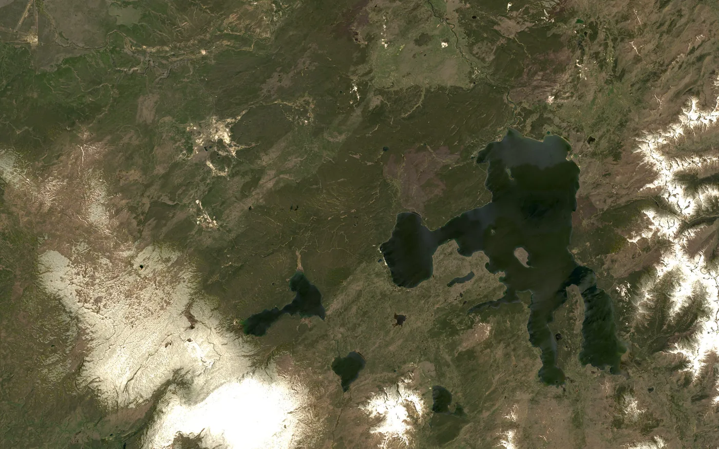
Yellowstone National Park, USA44.4604° N, 110.8282° WNatural-color composite
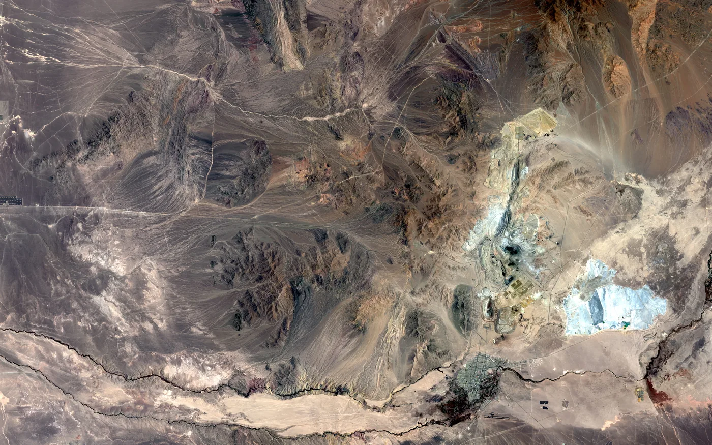
Mining
Expansion direction
Chuquicamata, Antofagasta, Chile22.3150° S, 68.9010° WNatural-color composite
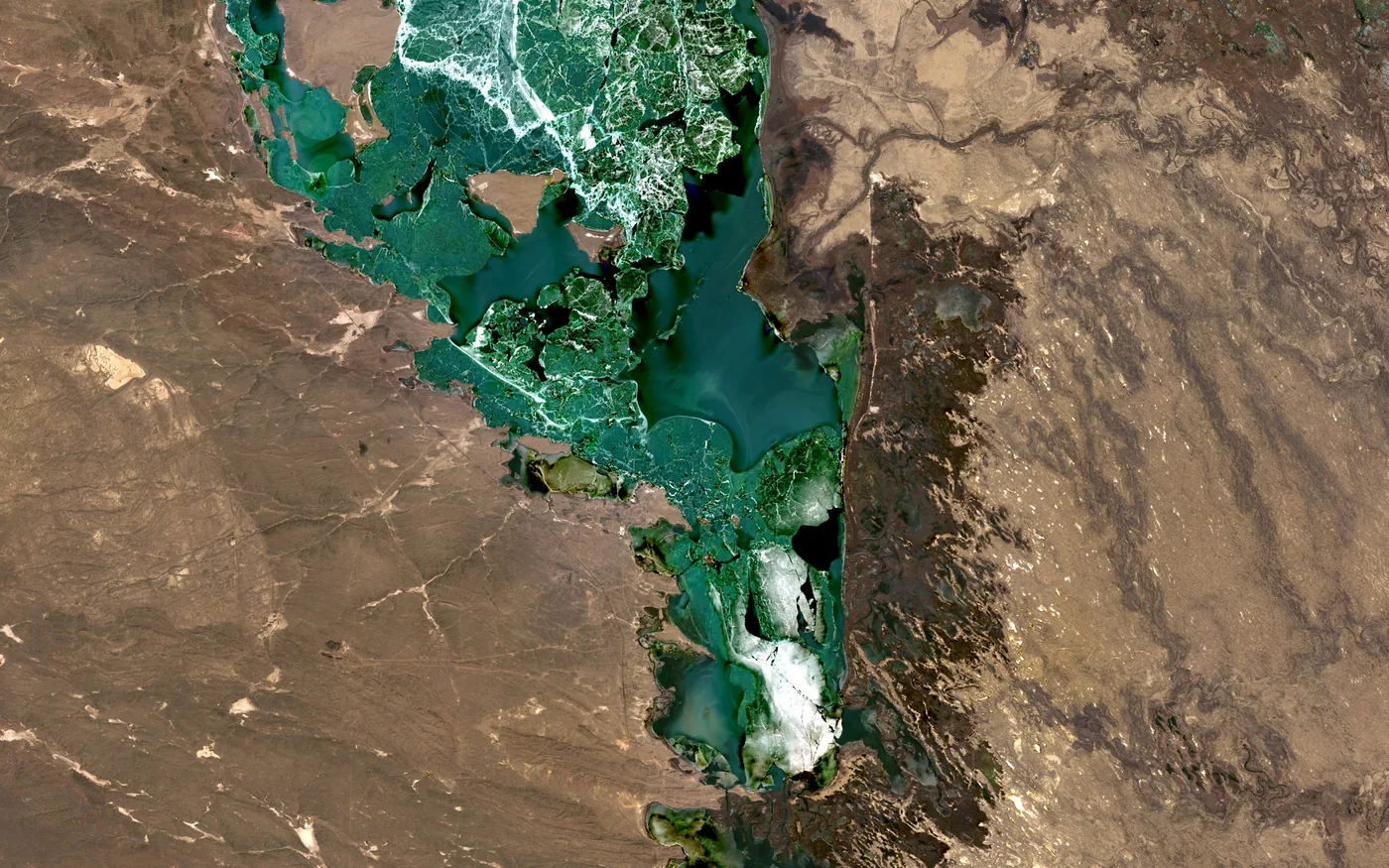
Marine
Expansion direction
Ili River Delta & Lake Balkhash, Kazakhstan45.0600° N, 74.5200° ENatural-color composite
Illustrative The three photographs above are public-domain Landsat scenes of other places, chosen to show the kind of ground each domain reads. They are not OrbGSS analytical outputs, not results, and not the Kızıldere pilot area.